WORLD / 2D ATLAS
A place to begin.
Places to explore
8 referencesSaved weather & time · Miami, Florida, USA
Evidence: observed · 2026 · human-time
Coordinates: 25.7617, -80.1918 · Retrieval: regional-context
Saved snapshot identity unavailable · provider time unknown · requested and provider-grid coordinates retained · no provider fetch
Saved discoveries · event and discovery dates
Discoveries in place
Living Intelligence Ecosystem · Saved evidence shared across Library, capsules, world and time.
Connecting this view to its project…
Satellite & provider maps
Optional Mapbox reference. Connection stays under its existing explicit controls.
Sources & field work
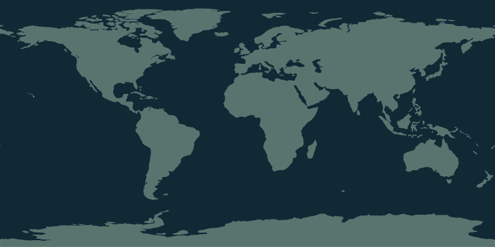
The local overview uses Natural Earth land geometry in a longitude / latitude projection. Zooming into street detail loads visible OpenStreetMap tiles in Web Mercator. Catalog pins are orientation references. Saved discoveries retain their own source, dates and revision.
Place names and boundaries can be disputed; a map does not establish sovereignty.